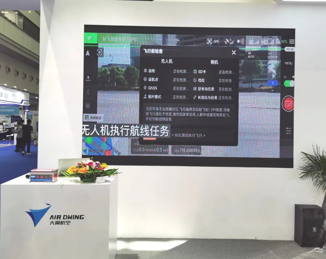
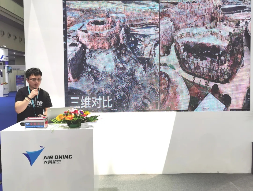
On May 21st, the Fifth World UAV Conference officially opened in Shenzhen Convention and Exhibition Center. There were more than a thousand drone-related exhibits on site. Tens of thousands of visitors were welcomed on the first day of the exhibition, and the enthusiasm for the exhibition was once high. In this grand exhibition, Big Wing Aviation made its debut with the participation of UAV system software and industry solutions. The audience sat in rows and listened to the detailed explanation of the staff.

Big Wing Aviation Booth
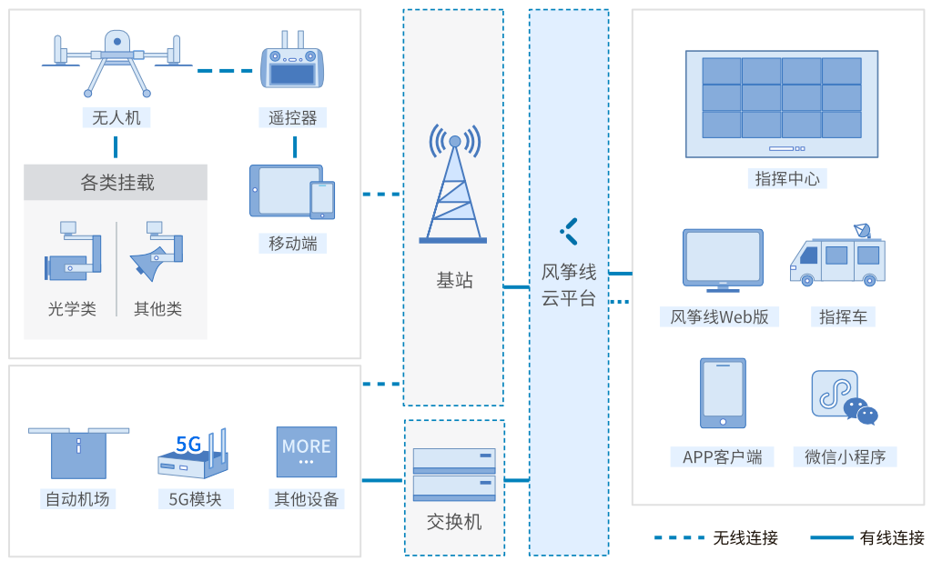
At the exhibition site, Big Wing Aviation provided multiple industry application solutions analysis and explanations to directly address the application pain points of industry customers. Whether it's industry customers, drone dealers, or manufacturers, they have gained a lot. After years of iterative development and technological updates, the kite line has been refined into an organically unified drone (Drone), Flyer (Flyer), results (Result), and airspace (Planning) in the industry application scenarios. Man-machine flight resource planning system. In the terms of Daying Aviation, the system can meet the needs of industry users at multiple levels from local basic applications, cloud integrated services, and in-depth applications. The product can also support the development of flight business in multiple dimensions, making the application process of the drone industry more comprehensive, efficient and convenient, and realizing DFRP refined management.


The system functions of the kite line can be divided into five parts: one is data transmission and visualization; the second is route planning; the third is organization management; the fourth is results management; the fifth is interconnection. In addition to firefighting and rescue, the kite line is also suitable for public safety, ecological environmental protection, agricultural and natural resource surveys, flood prevention and rescue, surveying and mapping modeling, road and waterway inspections, water conservancy, power and oil pipeline inspections, 5G networked drone applications, etc. field.
In the words of Ji Hong, General Manager of Daying Aviation, the kite line of Daying Aviation is not a set of pure production management software, but a UAV flight resource planning system in the true sense of the industry. It can bring more imagination to industry users to give full play to the performance of drones in scene applications, and effectively improve the aerial productivity of industry drones.

The kite line cloud system of Big Wing Airlines can be described by three keywords: service, focus, and openness. The so-called service refers to the provision of services rather than supervision. In his view, supervision is the responsibility of the relevant national administrative departments. On the one hand, Dayi provides services to the national supervisory authorities so that the use of drones can be identified, monitored, and monitored. Traceable, so as to achieve safe and controllable and benign and healthy development. The so-called focus refers to the development and integrated application of the industry's unmanned aerial vehicle software system. Unmanned aerial vehicle and software are 100% of the company's main business. The so-called openness refers to the determination to help the development of the global drone industry. The big wing kite line is a system designed according to the concept of the low-altitude Internet of Everything. Its flexible access method can quickly access various sensors and realize the docking with various flight controllers. Ji Hong said that if your system does not bring value to customers, even if it is free, others will not use it. How can we bring value to customers? From the perspective of Big Wing Aviation, in fact, it is necessary to integrate DFRP to conduct business in multiple dimensions to achieve refined management of DFRP.


Over the years, Big Wing Aviation has been committed to building a global pan-low-air intelligent networking system. The so-called pan-low-altitude intelligent networking is a new infrastructure project for the open use of low-altitude integrated airspace, including the integration of drones and manned-aircraft systems, the coordination and linkage of drones and rescue helicopters, the design and establishment of air traffic order, and pilots Training, training, and management reform of drone licenses.


